Schweizer Alpen Jungfrau-Aletsch
Gletscherspuren im Welterbegebiet Schweizer Alpen Jungfrau-Aletsch
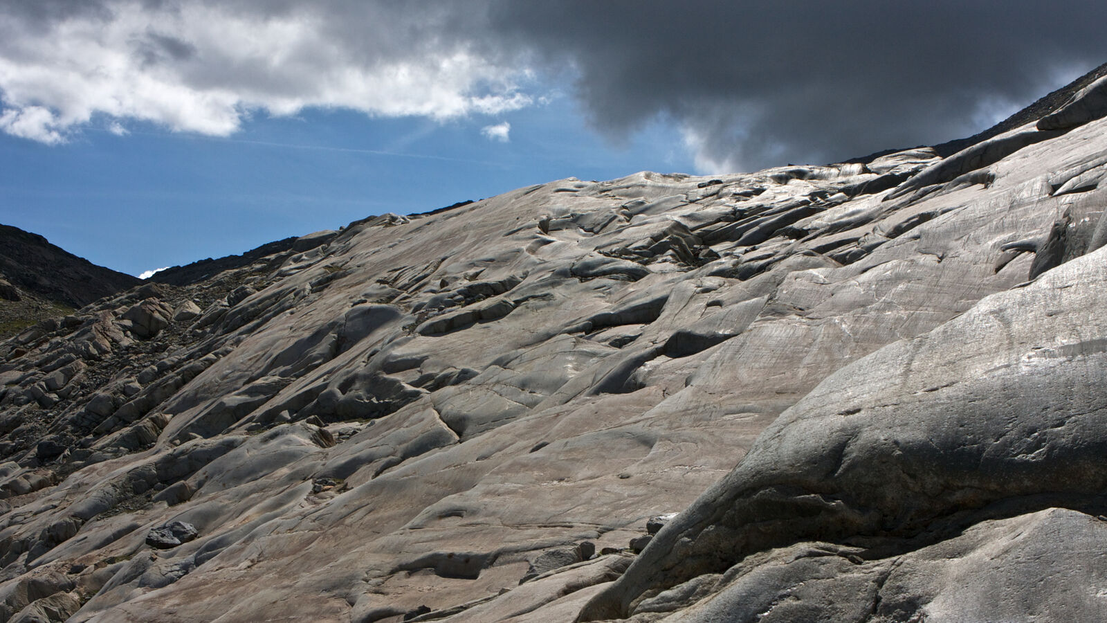
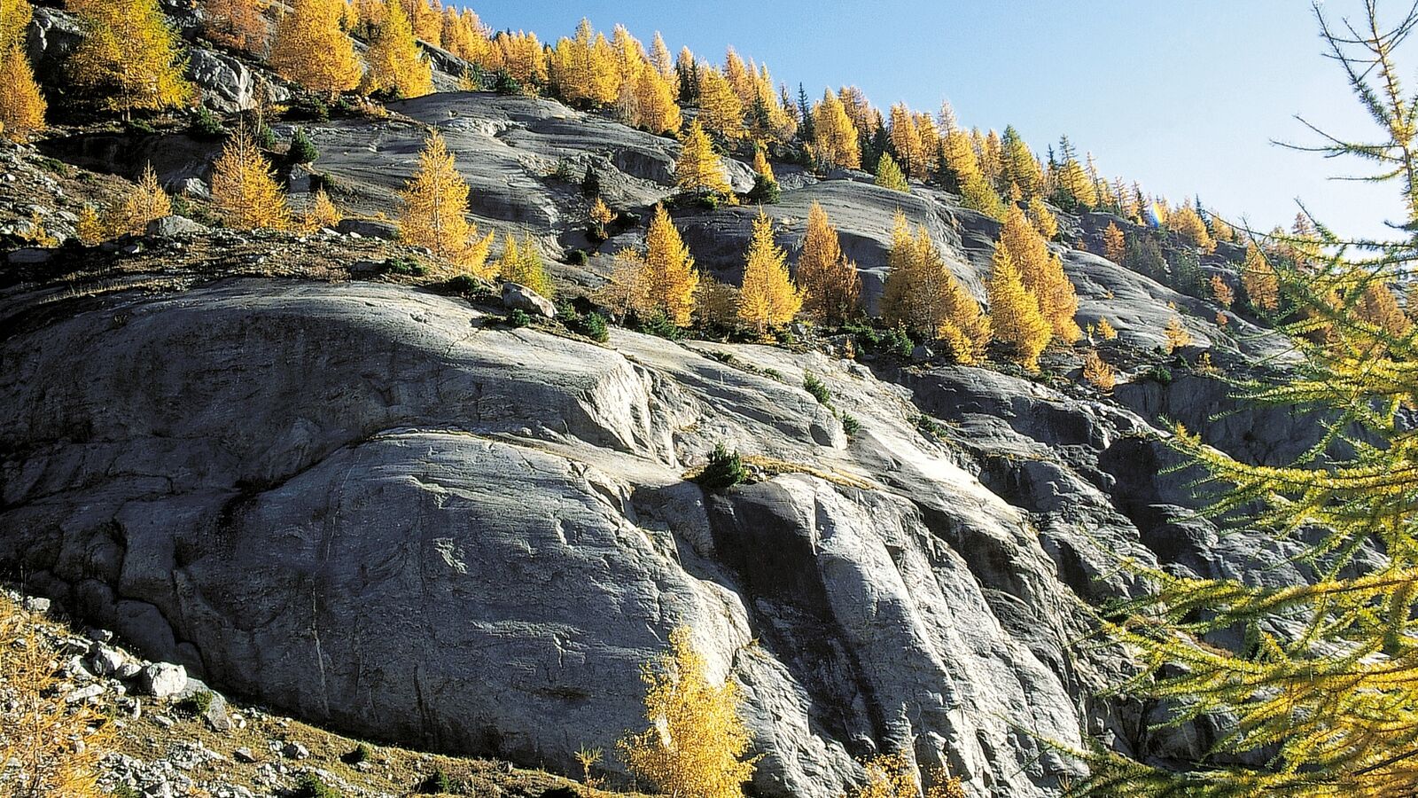
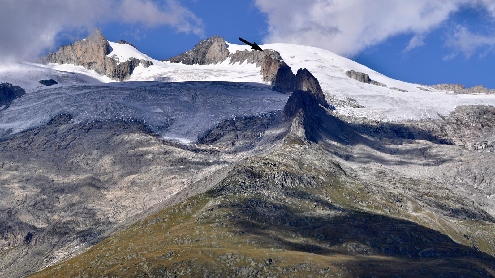
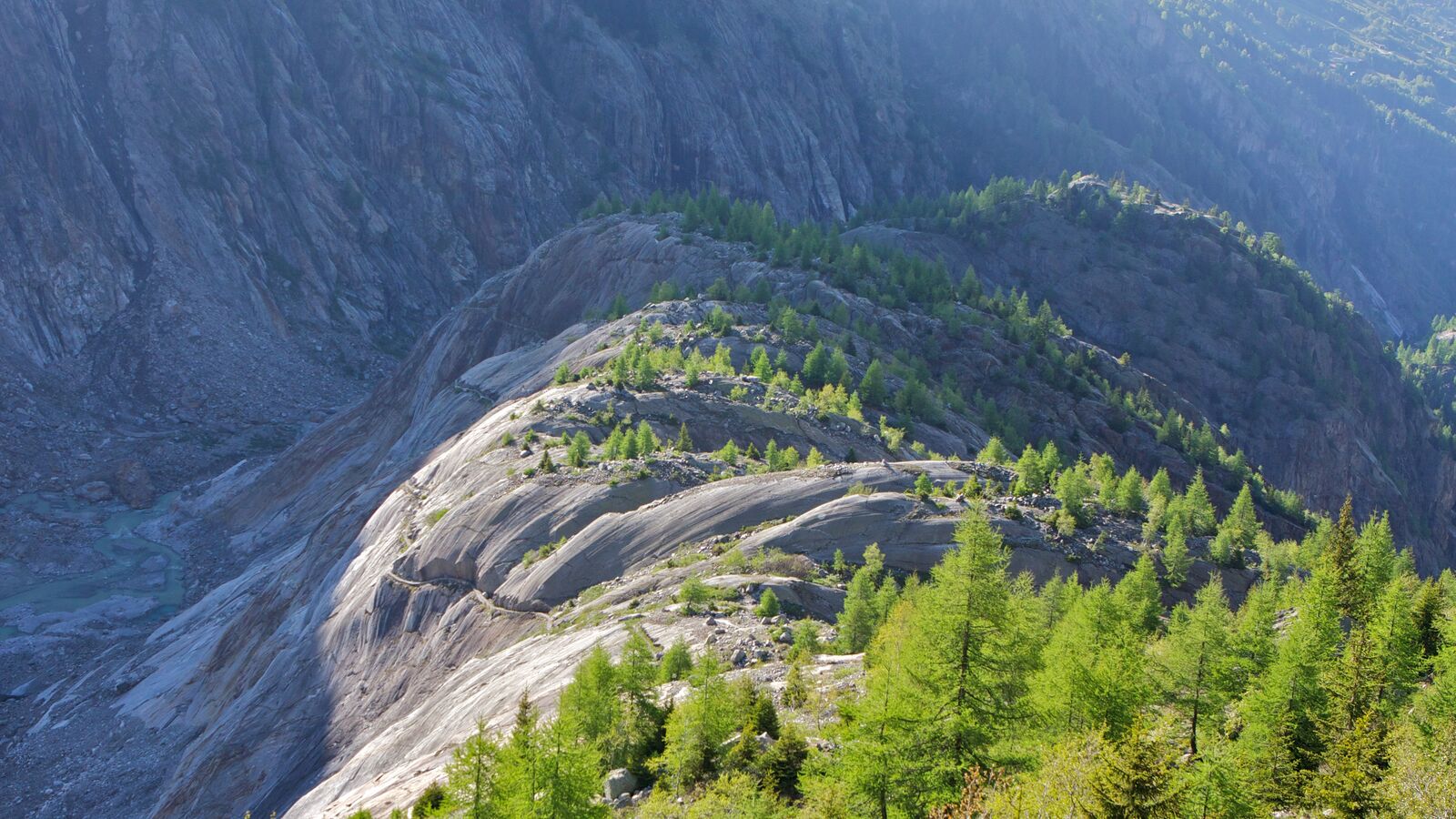
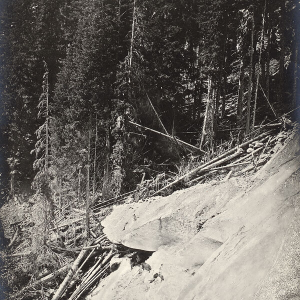
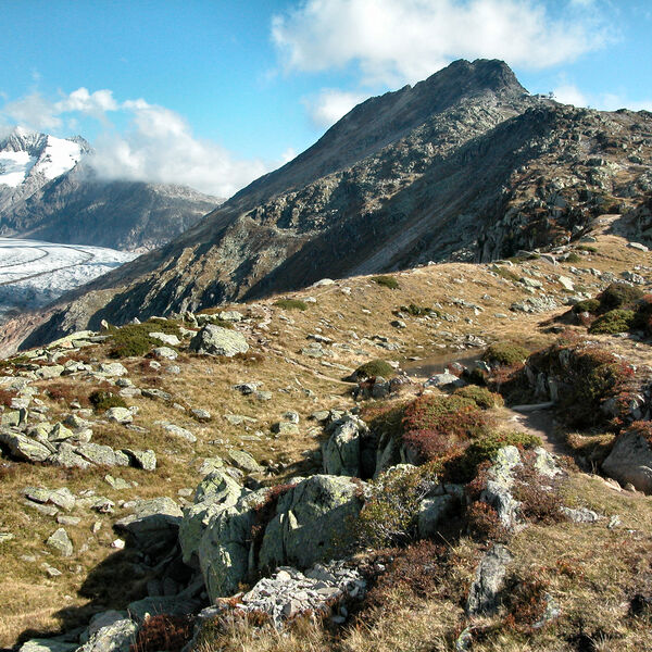
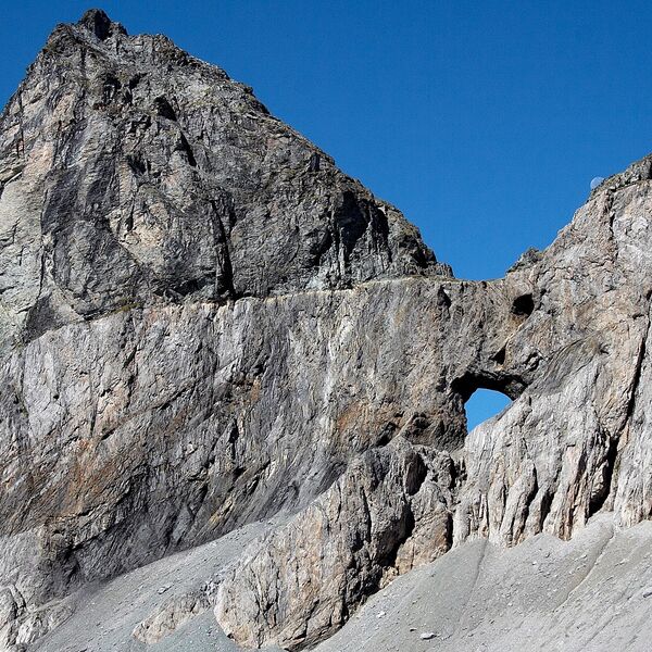
Gletscher schleifen, planieren und gestalten eine Landschaft. Die Spuren der eiszeitlichen Vergletscherung finden sich noch heute an vielen Orten: So zeichnet sich die maximale Höhe der eiszeitlichen Vergletscherung an der Obergrenze der senkrecht abfallenden Felsen am Hohstock oberhalb der Belalp, an den Fusshörnern, am Geissgrat und am Zenbächenhorn ab. Schliffspuren sind an vielen Felskuppen des Gebietes zu erkennen.
Auf die landschaftsformende Urgewalt der Eisströme gehen der sanft gerundete Grat von der Hohbalm bis zur Riederfurka, die Eintiefungen der Märjela und der Riederfurka und auch die abgeflachten Hangterrassen von Bellwald, der Bettmeralp und der Riederalp zurück. Felspartien wurden vom feinen Gesteinsmehl an der Unterseite der Gletscher zusätzlich abgeschliffen. Besonders eindrücklich sind diese glazialen Formen und Formationen beim Abstieg von der Bettmerhornstation in Richtung Riederfurka zu beobachten. Im Eis eingefrorene Gesteinsbrocken haben auf der Oberfläche dieser Felszüge die typischen Gletscherschrammen hinterlassen. Sie zeigen die Fliessrichtung des Eises an. In ausgeschliffenen Mulden sammelte sich das Schmelzwasser und bildete kleine Seen wie der Bettmersee oder der Blausee.
