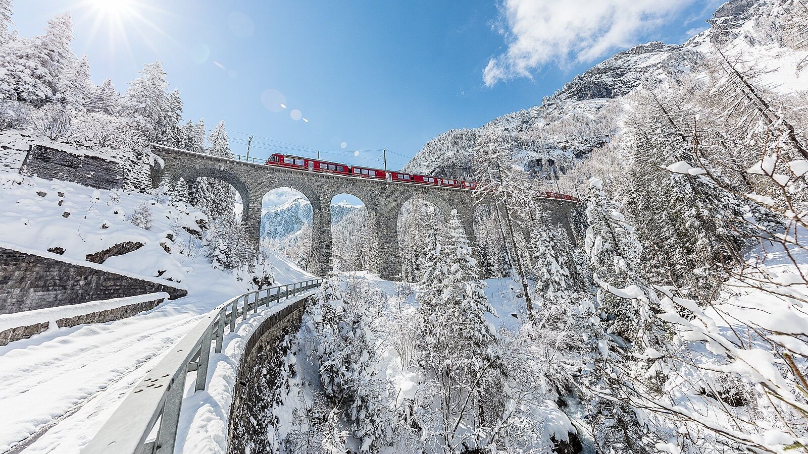
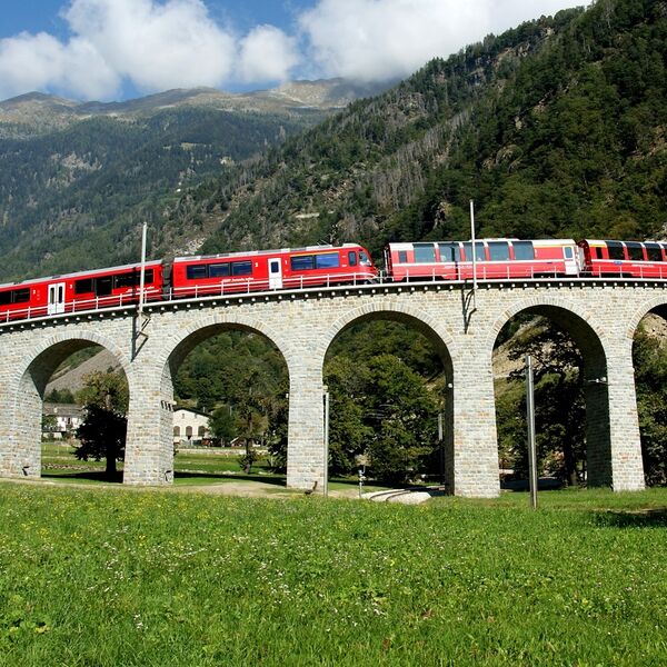
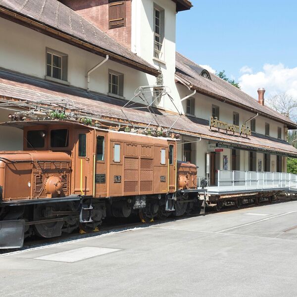
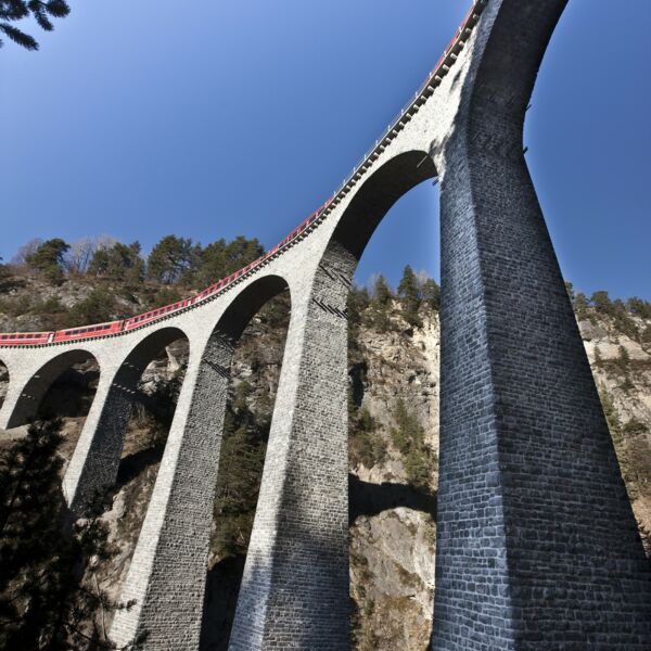
Rhätische Bahn in der Landschaft Albula/Bernina
Enge Radien, raffinierte Kunstbauten und beeindruckende Tunnels
Wussten Sie?
- Die Rhätische Bahn schlängelt sich bei der Überquerung des Berninapass ohne Zahnrad mit 70 Promille Steigung von 429 m ü. M. auf 2253 m ü. M.
- Die 62 Kilometer lange Albulalinie wurde in nur sechs Jahren (1898 –1904) gebaut.
Geschichte
Mehrere Varianten für die Streckenführung ins Engadin wurden geprüft. Um die zentralen Regionen des Kantons Graubünden besser erschliessen zu können, wählte man die Strecke Thusis-St. Moritz. Die 63 Kilometer lange Linie führt unter anderem über Tiefencastel, Filisur, Bergün und Samedan. Der Bau begann in 1898, und 1904 wurde die Albulabahn eröffnet. Die Strecke wurde 1919 elektrifiziert.
Obwohl die Albulabahn nicht als Transitlinie konzipiert wurde, war man bestrebt, die Strecke nach den Grundsätzen einer möglichst effizienten Bahn anzulegen. Dies erklärt, warum die Züge bis heute, trotzt gesteigertem Verkehrsaufkommen, weitgehend auf dem ursprünglich gezogenen Trassee verkehren. Das Anliegen, eine leistungsstarke Bahn zu haben, trifft auch für die Berninastrecke zu.
Während die Albulalinie den Bergscheitel mit einem Tunnel durchsticht, wählten die Bahnbauer für die 1910 eröffnete Berninalinie eine offene Streckenführung über die Bergkuppe. Der rein privat finanzierte Bau sollte so kostengünstig wie möglich sein, was sich in der Trassierung, den engen Kurven und den grossen Steigungen von bis zu 70 % zeigt. Der Streckenverlauf wurde so gewählt, dass er einerseits touristisch attraktiv war und anderseits dem Materialtransport der Kraftwerke jenseits des Passes diente. 1944 übernahm die RhB diese von Anfang elektrisch betriebene Linie.
Die Albula- und Berninalinie bilden den modernen Teil einer viel älteren und grösseren Verkehrs- und Kulturlandschaft der Alpen. Als 15 v. Christus die Römer das Gebiet eroberten, beeinflussten sie die Kulturen auf beiden Alpenseiten. Am Hörbarsten ist dies nach wie vor in den Sprachen: Rätoromanisch im Norden und Italienisch im Süden. Diese Kulturräume zeichnen sich des Weiteren durch ihre Wirtschaftssysteme aus, die ihrerseits wesentlich von topographisch-klimatischen Bedingungen abhängen. Nördlich der Albula entwickelte sich ein dreistufiges Wirtschaftssystem mit Heimsiedlungen, nur zeitweise genutzten Zwischenstufen (sog. Maiensässen) und den sommerlichen Alpsiedlungen. Das Engadin dem gegenüber kennt wegen seiner Höhenlage nur ein zweitstufiges System: Heimsiedlungen, die sich oft durch wunderschöne, dick gemauerte Häuser auszeichnen, und Alpsiedlungen. Das Puschlav schliesslich geht von der alpingeprägten Passlandschaft zuerst in eine Vieh- und Ackerbauwirtschaft über, während in der Nähe der Grenze Acker- und Weinbaugebiete dominieren. In diesem Zusammenhang sei auf die crott oder scélé bei Brusio verweisen. Es handelt sich um trocken gemauerte Rundkuppeln, die als Kühlräume für Lebensmittel und Weine genutzt wurden. Eine neue Wirtschaftsform, die durch den Bahnbau beschleunigt wurde, ist der Tourismus.
